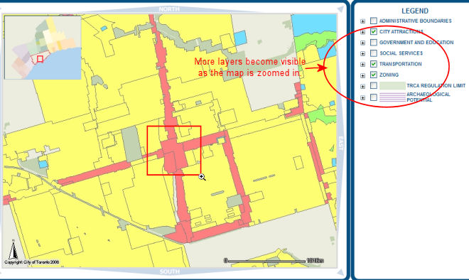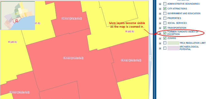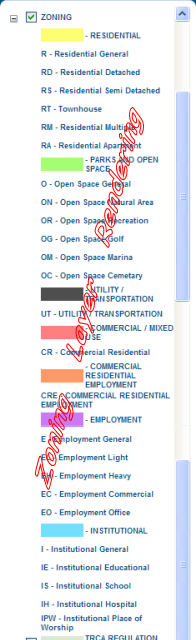
The legend window displays the layers of information available for viewing in the map.
It allows the users control of what layers are to be displayed by checking the box next
to the layer name on or off.
Each layer is "scale dependent". Layers are made visible (if checked 'on') depending on
how close the map is zoomed in. Whenever a layer is checked on/off the
 button
must be clicked to refresh the map canvas.
At "Default Extent" only the City, the surrounding municipality
boundaries and the Highways are visible.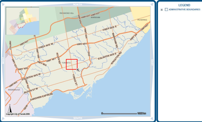
The closer you are zoomed in the more layers appear in the map and the Legend.